Home
About us
Municipalities
Analytics
News
geo
eng
Home
About us
Municipalities
Analytics
News
contact@geologymaps.ge
Kvareli | 12 location
Home
Municipalities
Kvareli
Geological event
Select a geological event
Abrasion (geologic)
Concave
Flood
Gullying
Landslide
Lateral erosion
Mudslide
Other
Rock avalanche
Rockfall
Washing the river bank
level of danger
Select a risk level
Very high
High
Medium
Low
River Shorokhevi Left gorge
Geological event:
Washing the river bank
level of danger:
Medium
The right slope of the gorge of the Avan river, the section of the road connecting to the main structure of Avanihesi
Geological event:
Landslide
level of danger:
Medium
The right slope of the gorge of the Avan river, the section of the road connecting to the main structure of Avanihesi
Geological event:
Rockfall
level of danger:
Low
The right slope of the gorge of the Avan river, the section of the road connecting to the main structure of Avanihesi
Geological event:
Rock avalanche
level of danger:
Low
extreme north-western periphery of Akhalsofli on the upper bank of the Avan river gorge.
Geological event:
Mudslide
level of danger:
Low
extreme north-western periphery of Akhalsofli on the upper bank of the Avan river gorge.
Geological event:
Washing the river bank
level of danger:
Low
On the bank of the gorge of the Avan River, an area of existing danger
Geological event:
Mudslide
level of danger:
Medium
On the bank of the gorge of the Avan River, an area of existing danger
Geological event:
Washing the river bank
level of danger:
Medium
The left bank of the Avan river gorge near the Akhmeta-Ninigori central road bridge
Geological event:
Mudslide
level of danger:
Medium
The left bank of the Avan river gorge near the Akhmeta-Ninigori central road bridge
Geological event:
Washing the river bank
level of danger:
Medium
In the south-west of the town of Kvareli, in the valley of the Duruji river
Geological event:
Mudslide
level of danger:
Medium
In the south-west of the town of Kvareli, in the valley of the Duruji river
Geological event:
Washing the river bank
level of danger:
Medium
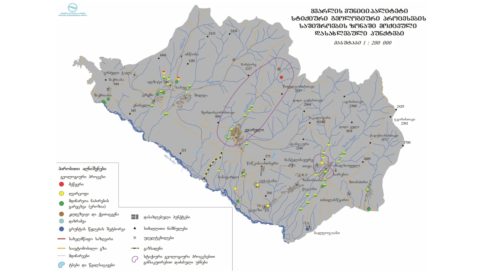
The maps used in the project were produced by the National Environmental Agency.